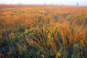
The Mixed-grass Prairie Ecoregion lies between the tallgrass prairies to the east and the shortgrass prairies to the west. The region is a transition zone where tallgrass and shortgrass prairies merge, taking on characteristics of both. In the east and along floodplains tallgrass prairie species tend to dominate, while in the western part shortgrass species are in abundance.
Most watercourses are lined with riparian forests that include plains cottonwood, green ash, hackberry, and eastern redcedar. Planted woodlands and shelterbelts are common throughout the region. The Mixed-grass Prairie Ecoregion contains an abundance of wetlands, including playas, wet meadows, and floodplain as well as wet prairies found along the Rainwater Basins, former river channels and river valleys.
The topography consists of nearly level broad plains in much of the rainwater basin region of south-central Nebraska, along river drainages and gently rolling hills in the north-central part of the region, and steep slopes with deeply incised drainages in the southwest. Most of the region is covered by wind-blown loess soils. The ecoregion contains hundreds of miles of rivers and streams that drain eastward into the Missouri river. Perennial and intermittent streams transect most of the region and serve as tributaries to the Platte, Republican, Loup, Niobrara and Blue rivers.
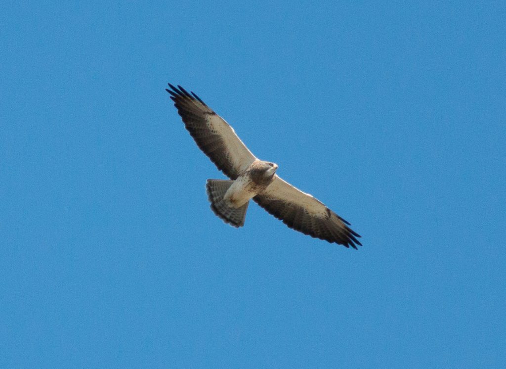
Characteristic Birds
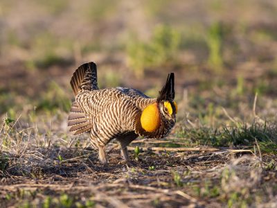
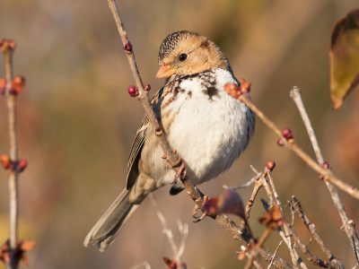
More than 350 species of resident and migratory birds have been documented in the Mixed-grass Prairie Ecoregion. Common grassland birds include Grasshopper Sparrow, Dickcissel, Western Meadowlark, Bobolink, Northern Bobwhite, Field Sparrow, Northern Harrier, and Greater Prairie-Chicken.
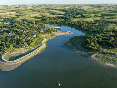
Thousands of Swainson’s Hawks migrate through the ecoregion each fall, and large bodies of water such as Harlan County and Sherman reservoirs provide rest areas for thousands of American White Pelicans and Franklin’s Gulls.
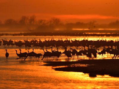
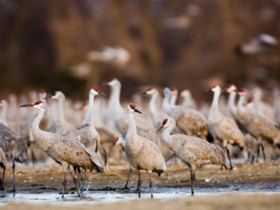
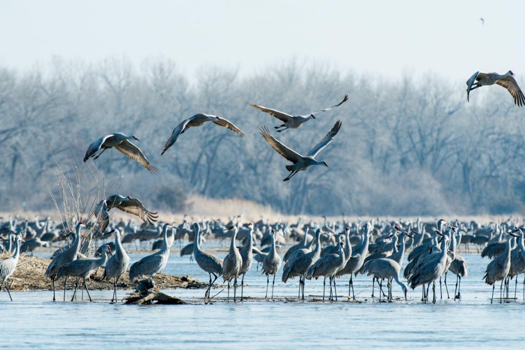
This area is also an important stopover location for over 500,000 Sandhill Cranes during their spring migration north to their breeding grounds.
Central Platte Valley Habitat
The central Platte Valley stretches north and south along I-80 from York to Ogallala Nebraska and includes an array of landscapes including wetlands, sedge meadows, native prairies, sandpit lakes, woodlands and bottomland timber allowing for diverse viewing opportunities.
The central Platte River is a large, shallow, braided stream. Sandbars and wooded islands are common within the channel. Much of the streambank is also wooded with cottonwood and eastern redcedar. Sand pits are common along the river, many with housing developments. Most of the river floodplain is in cropland, though there are scattered wet meadows in areas.
The spring staging of Sandhill Cranes on the Platte River is a world-renowned phenomenon. Each spring over 80% of the world’s Sandhill Cranes concentrate on the central Platte River. The cranes roost in the tens of thousands at scattered sites in the shallow river and sandbars to protect them from predators like coyotes. During the day the cranes forage in adjacent cornfields and wet meadows. The area offers over 65 identified viewing areas which include state parks, public viewing areas, wildlife management areas, parks, prairies and smaller miscellaneous usage spots.
Over 300 bird species have been observed along the Platte River and 141 species are known to nest there.
Rainwater Basin Habitat
South of the Platte River in the southeastern part of the ecoregion extending into the Tallgrass Prairie Ecoregion is the Rainwater Basin which encompasses a 4,200 square mile region of shallow lakes, marshes and other wetlands.
Rainwater Basin wetlands are highly dynamic and dependent on precipitation run-off but serve as one of the most important wetland complexes in the midcontinent of North America for migratory birds.
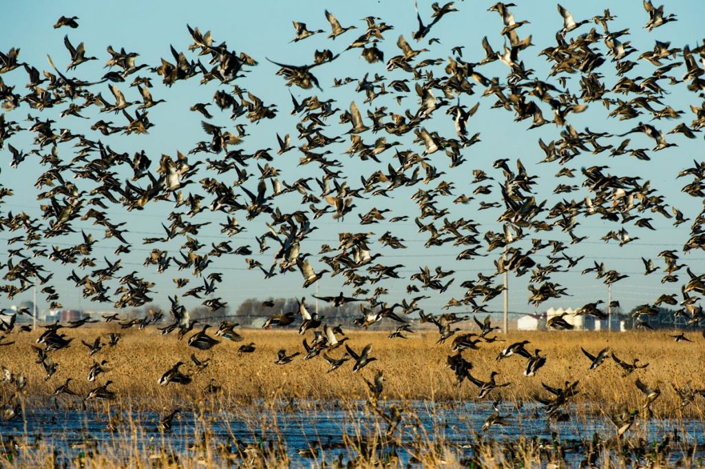
When the region’s wetlands have water this area is great for viewing shorebirds and waterfowl. More than two-dozen species of waterfowl regularly use these wetlands during migration, including more than one-third of the continent’s Northern Pintails, 50% of the continent’s Mallards, and over 90% of the midcontinent’s Greater White-fronted Geese.
Estimates of 300,000 to more than 500,000 shorebirds comprising more than 30 species use the basins, including Baird’s Sandpiper, Stilt Sandpiper, Lesser Yellowlegs, and some of the largest concentrations of Buff-breasted Sandpipers observed anywhere.
During spring and fall waterfowl and shorebird migrations, visit the many Wildlife Management Areas and Waterfowl Protection Areas (WPAs), like Harvard WPA in the Rainwater Basin.

